
Summary
Keywords
Full Transcript
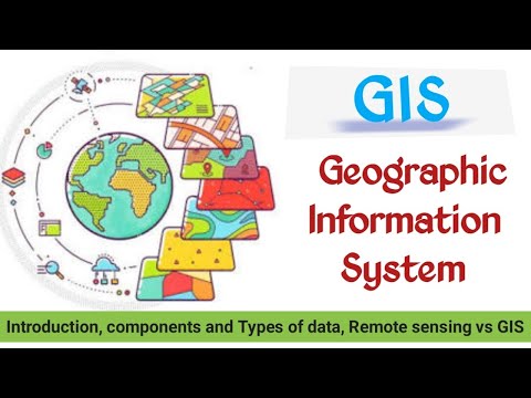
GIS consists of two distinct disciplines, namely, geography and information system. Information system refers to a system containing electronic records, which involves input of source documents, records on electronic media and output records, along with related documentation and any indexes. GIS is a computer based information system used to digitally represent and analyse the geospatial data or geographic data. Geospatial means the distribution of something in a geographic sense. It refers to entities that can be located by geographic coordinate system. GIS is a particular form of information system applied to geographical data. Concept of Remote sensing https://youtu.be/VjFlKIVVgbs Remote sensing platforms: https://youtu.be/9KTY1GSCYcE Remote sensing sensors: https://youtu.be/_esuFxe2V_w Whiskbroom Vs Pushbroom: https://youtu.be/P-ZRVAAWijQ History of Remote Sensing: https://youtu.be/gnQibQXIBts Follow our telegram channel with name EVS 4 NTA NET @evsnetpaper2 #evs4ntanet #evs_4ntanet #environmental_science #GIS #remote_sensing_&_GIS #EVS@youube #whatisGIS

Continue this lesson in the app
Install CourseHive on Android or iOS to keep learning while you move.

